On my way back to San Francisco I had some time left and stopped by in Moab to do Top of the World. This trail was earlier rated as moderate in different trail books and is nowadays rated as difficult.
To reach the start of the trail one has to drive on SR 128 until he arrives at Dewey Bridge.
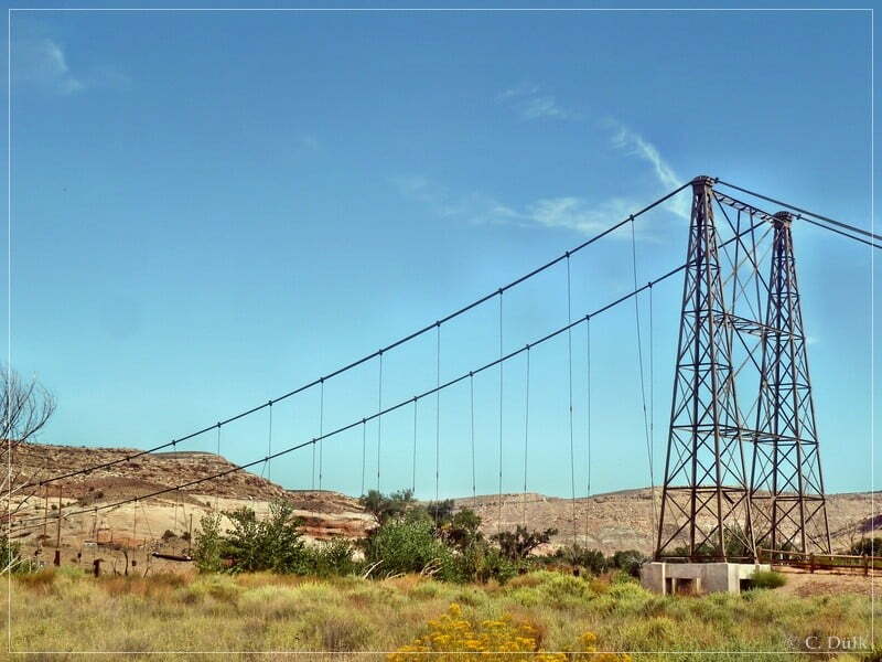
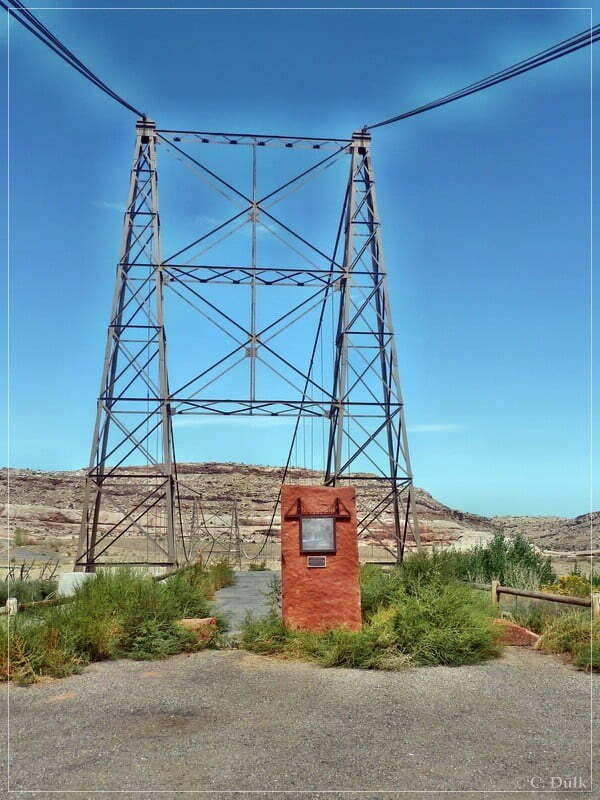
The old Dewey Bridge is no more passable as a fire destroyed this bridge. A sign gives some details:
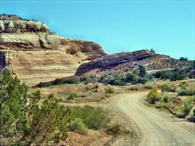
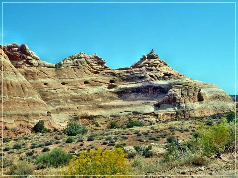
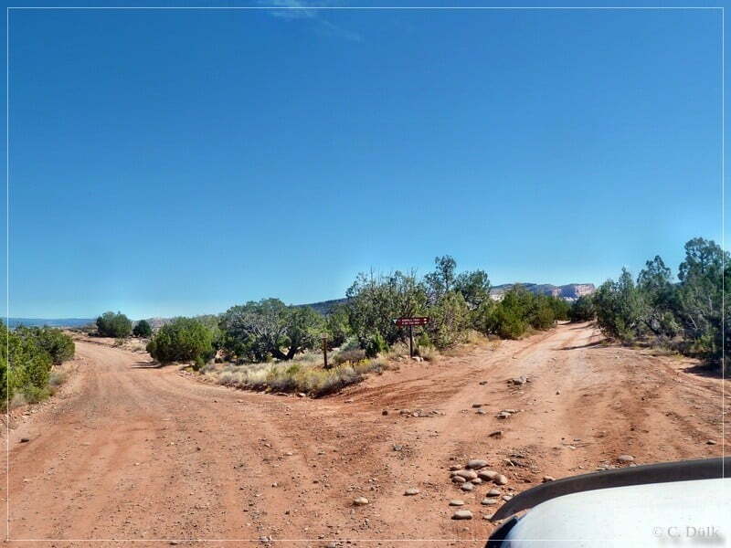
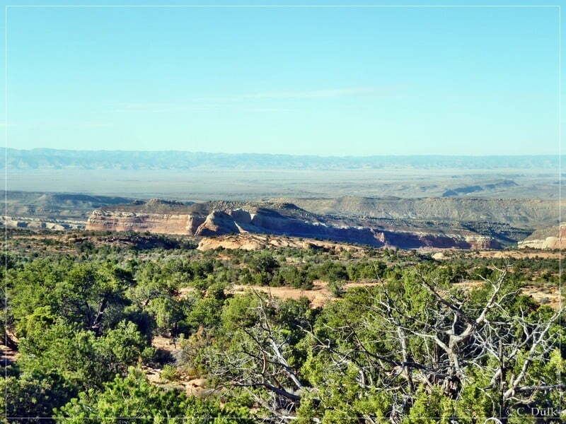
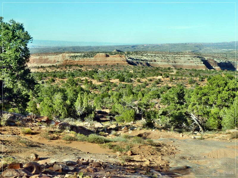
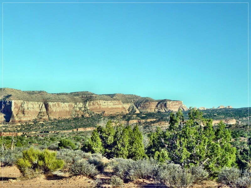
Coming from Moab one has to turn right at 12S64738X 429695X (UTM/NAD27) on Entrada Bluffs Road. An easy gravel road leads towards the Top Of The World trail. Here a few pictures, taken along Entrada Bluffs Road:
A sign points towards the trailhead of Top of the World:
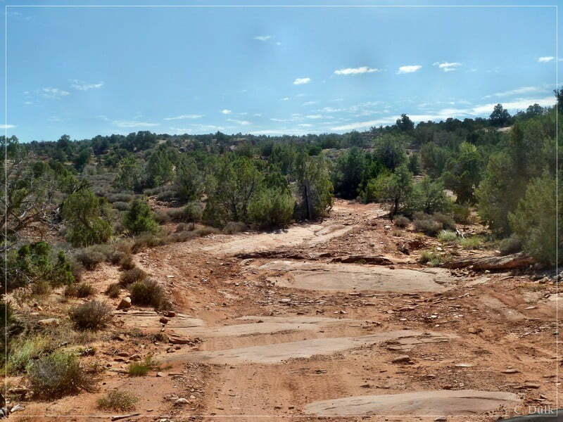
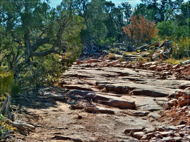
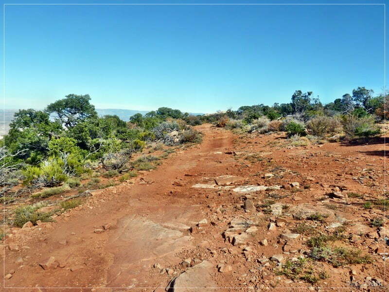
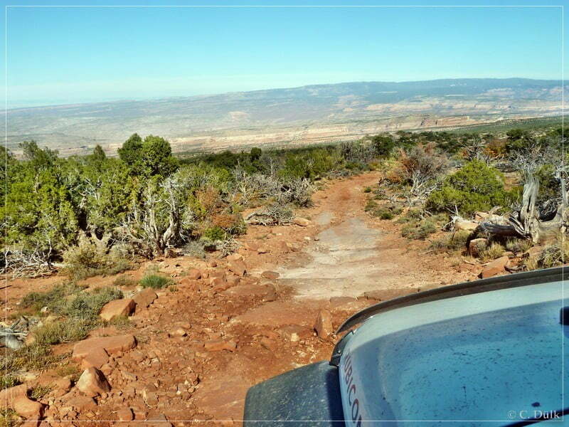
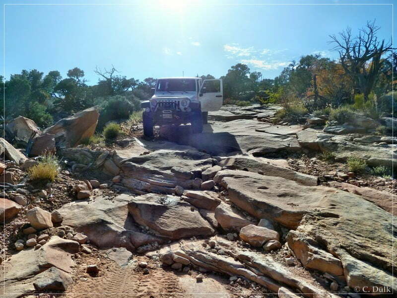
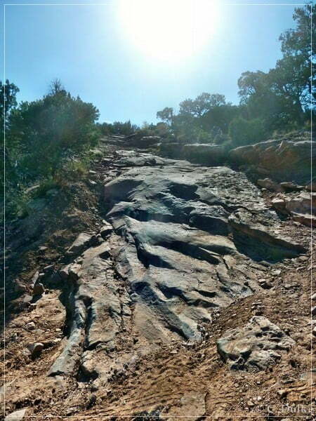
The trail starts at 12S65215X 429253X. Soon you are on the first slickrock passages. The following pictures should give an impression about the trail as I found it in september 2011:
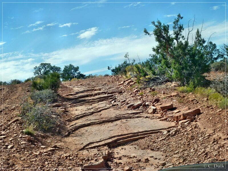
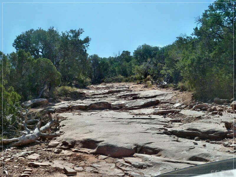
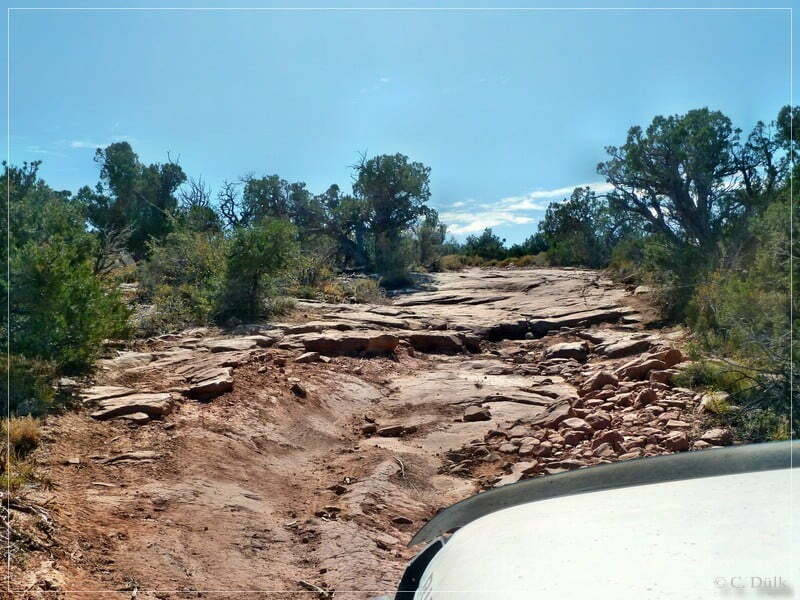
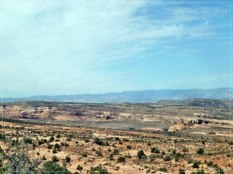
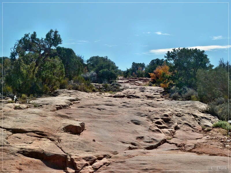
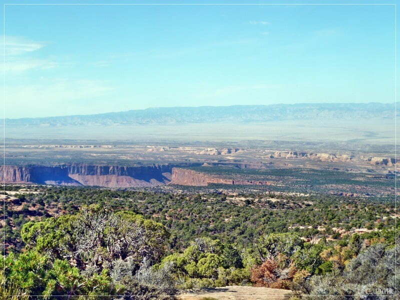
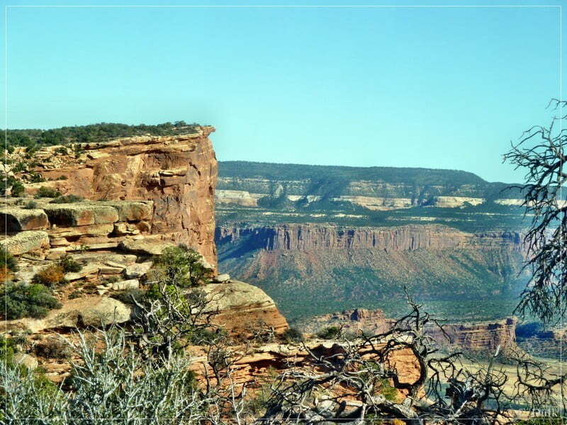
Here a view of the vicinity…
…before I continued on the trail:

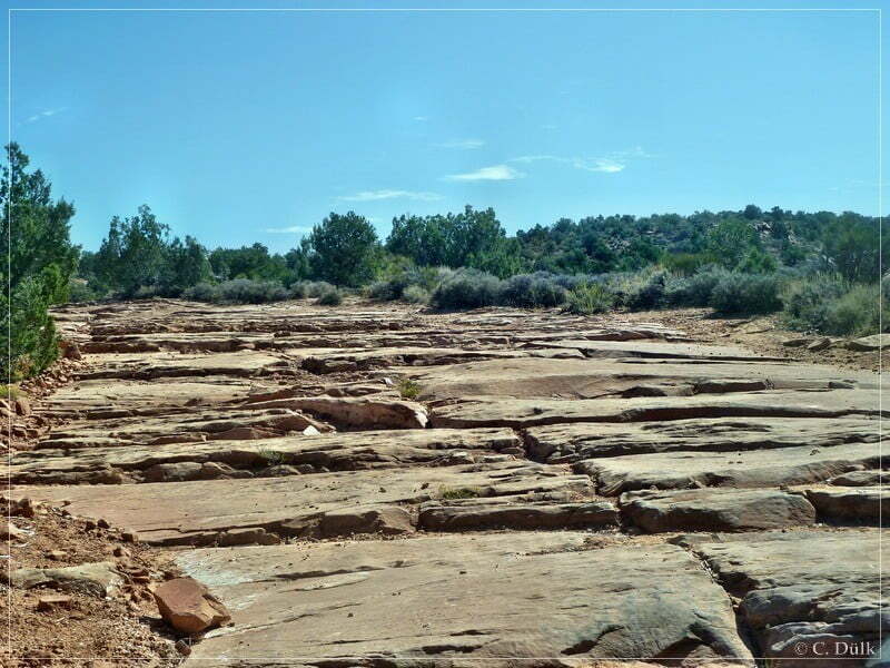
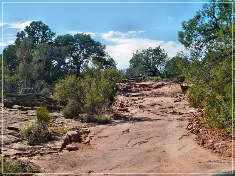
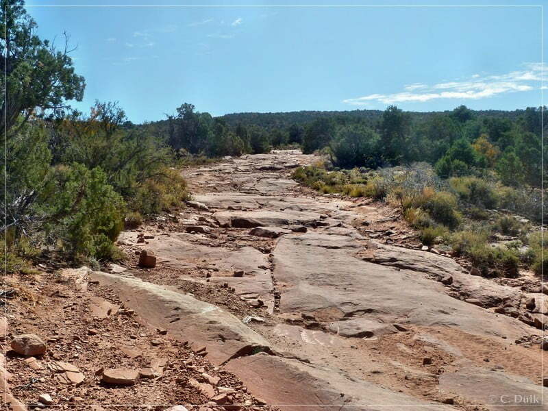
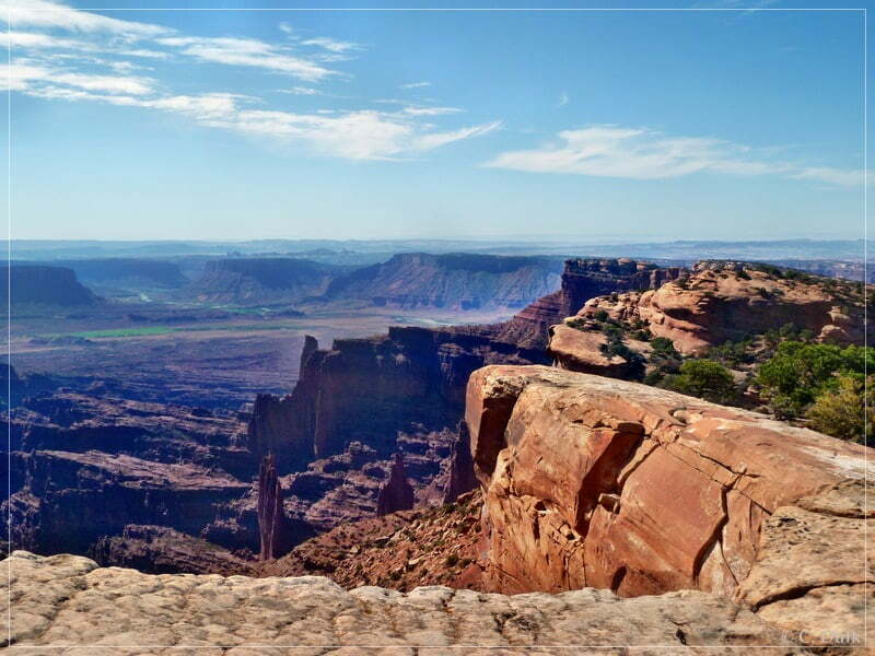
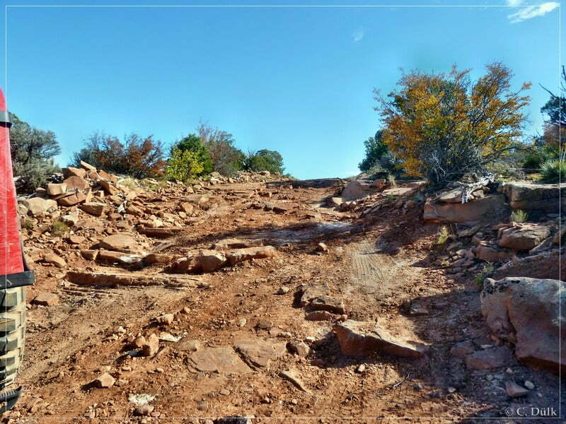
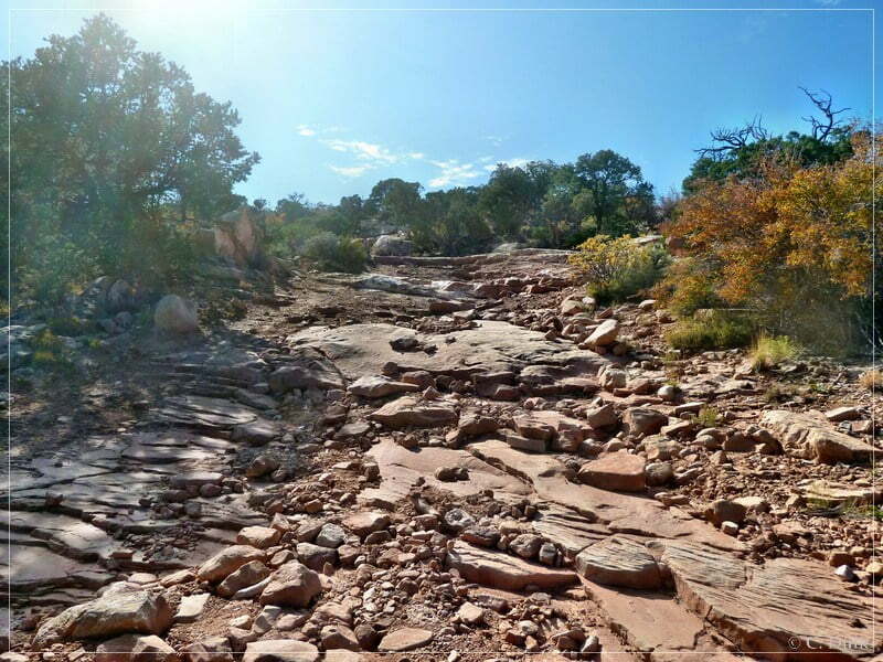
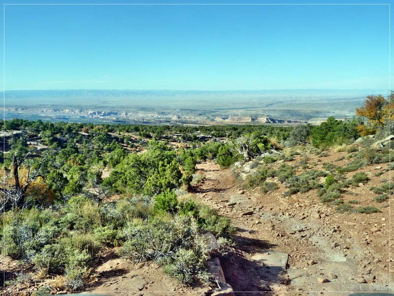
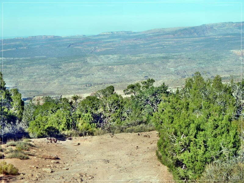
Here one more scenic view along the trail:
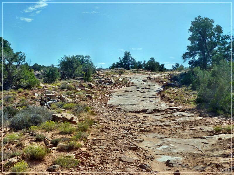
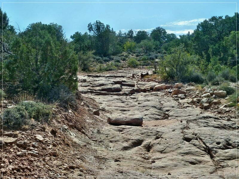
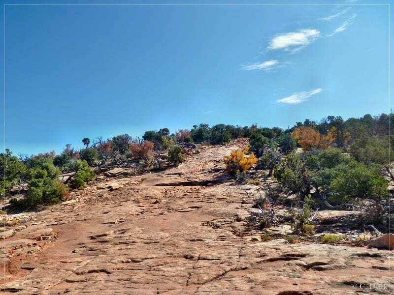
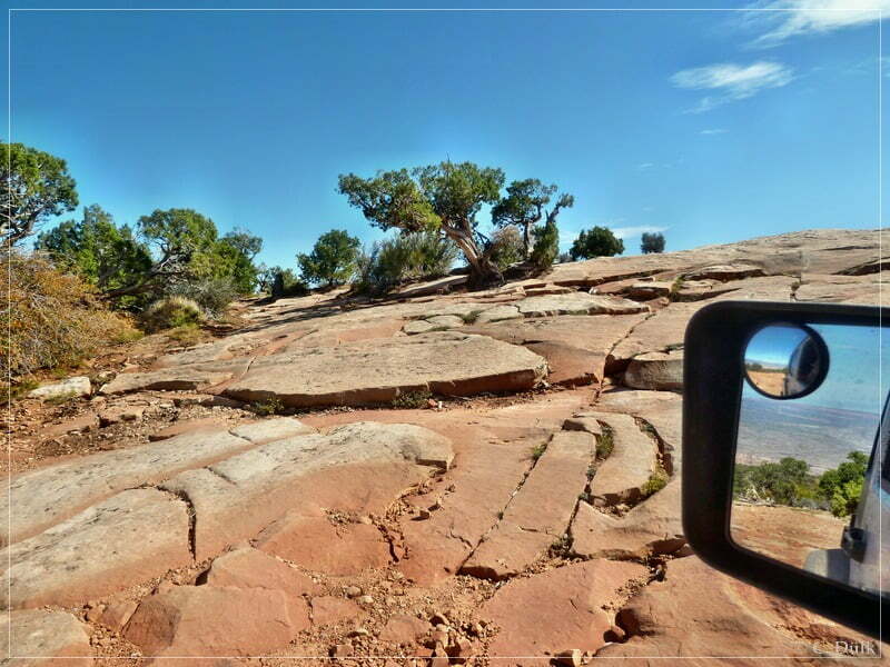
And still we are going up the hill:
At 12S65117X 428832X we are arriving at a fork. Usually one should take the right trail for going uphill and on the way back you are then coming down from the left trail.
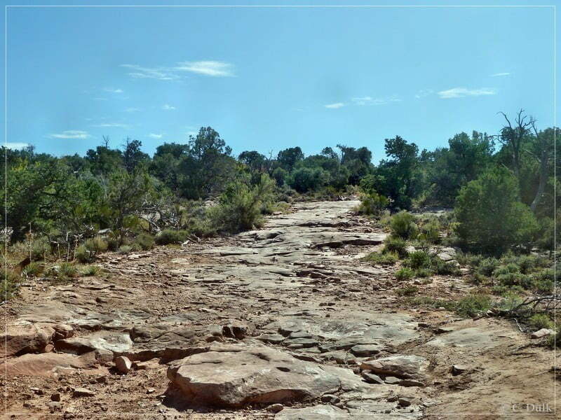
We are going uphill on the right trail as suggested:
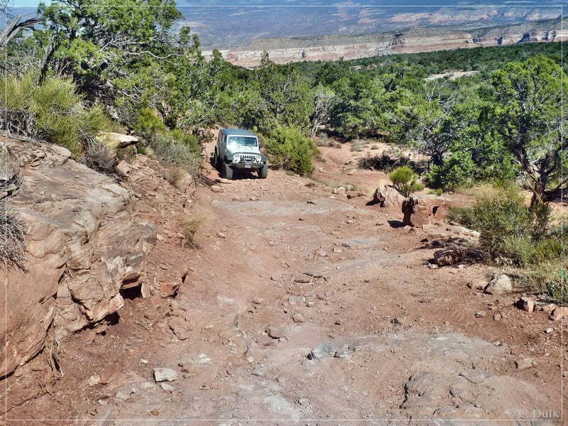
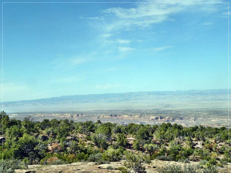
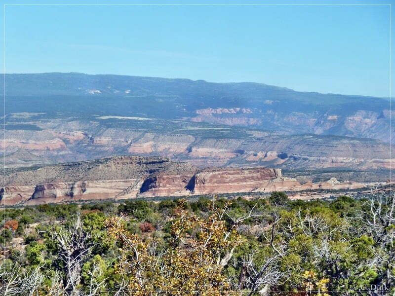
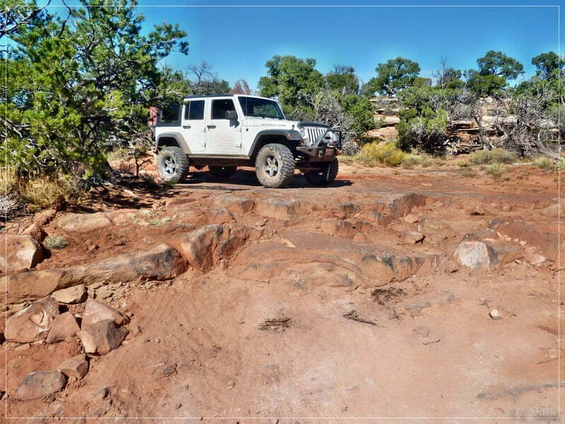
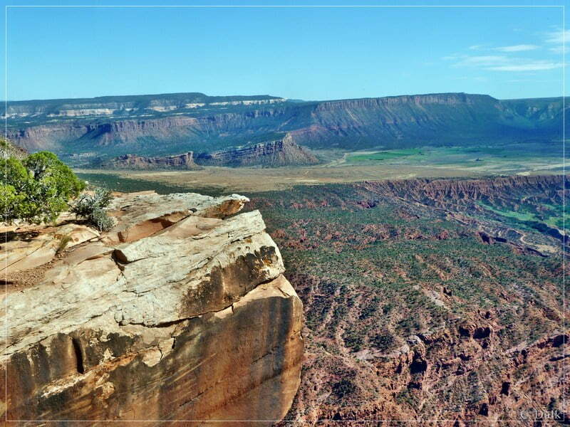
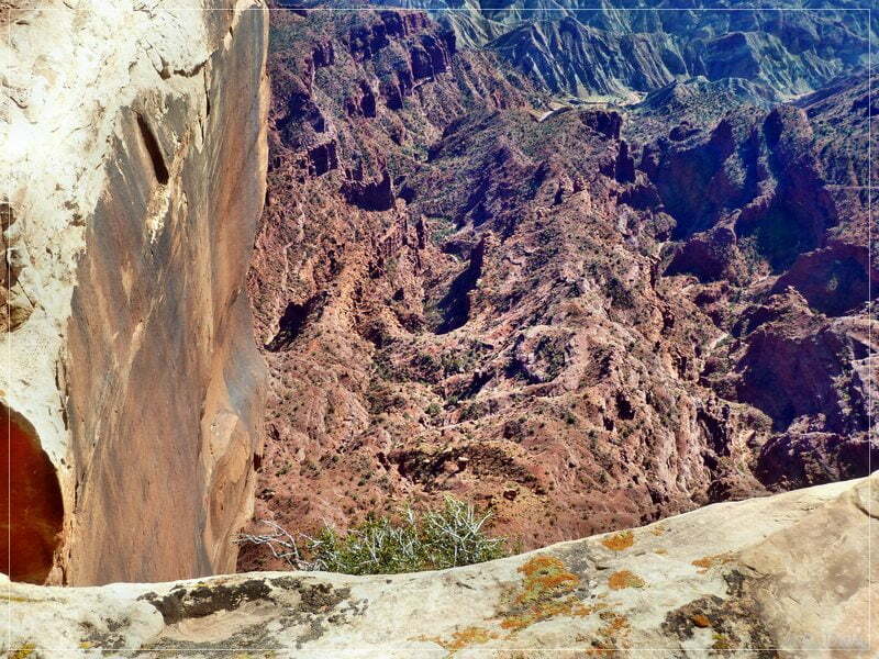
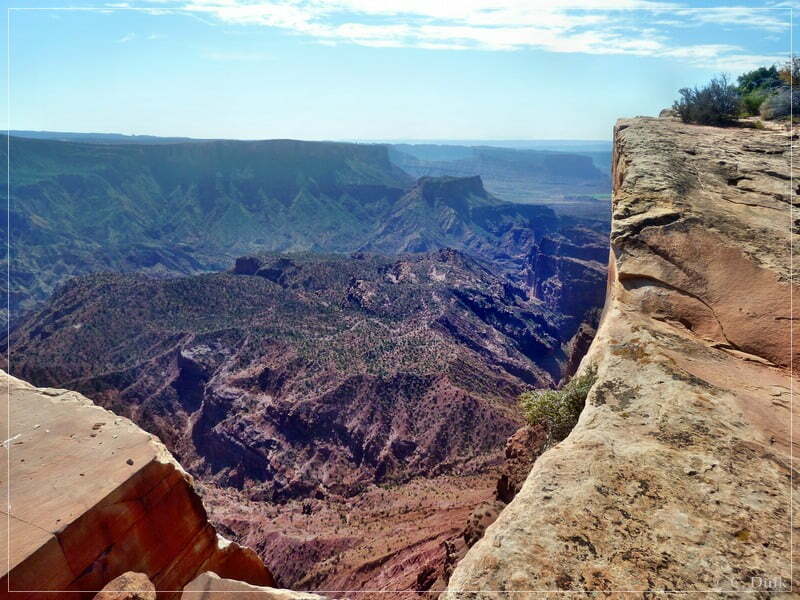
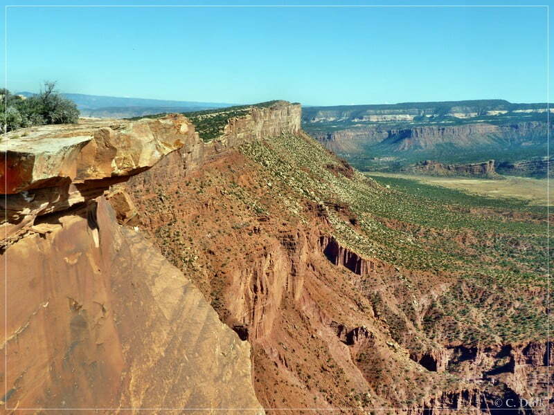
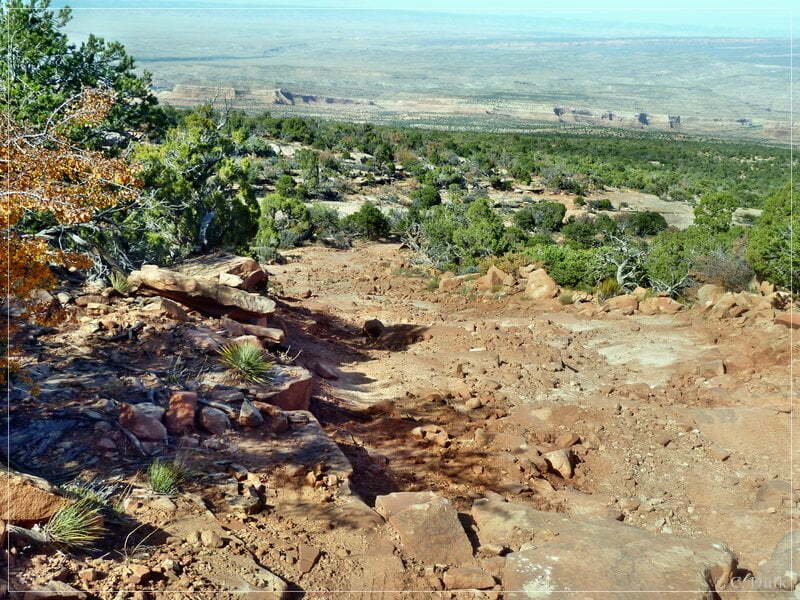
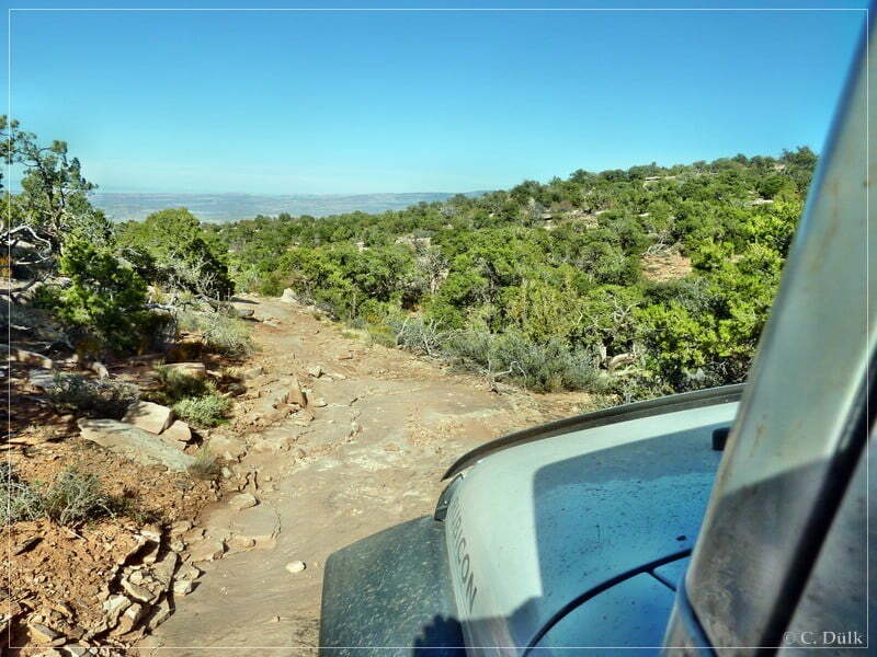
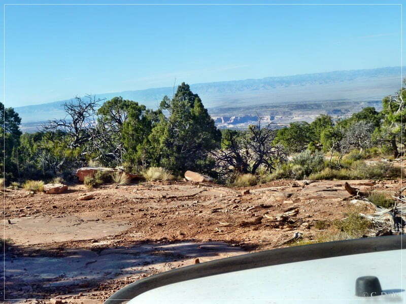
At this spot we are near to ‘Top of the World’…
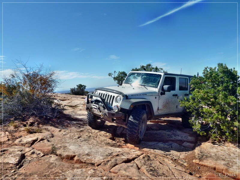
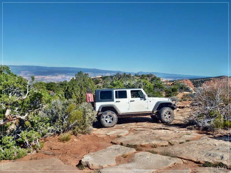
…park our vehicle…
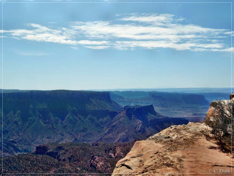
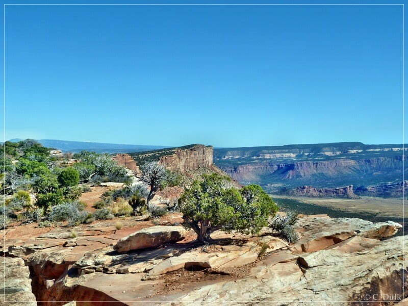
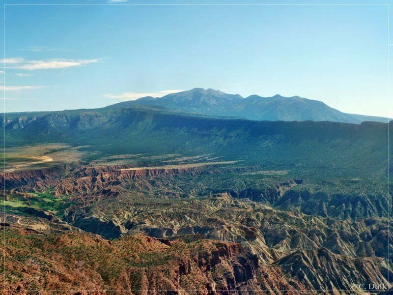
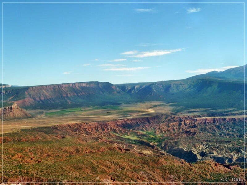
…and enjoy the vicinity (for example Fisher Towers, La Sal Mountains, Polar Mesa, Richardson Amphitheater, Onion Creek, Dome Plateau…):
After some time I had to go back and used the right trail to drive down to the fork described earlier:
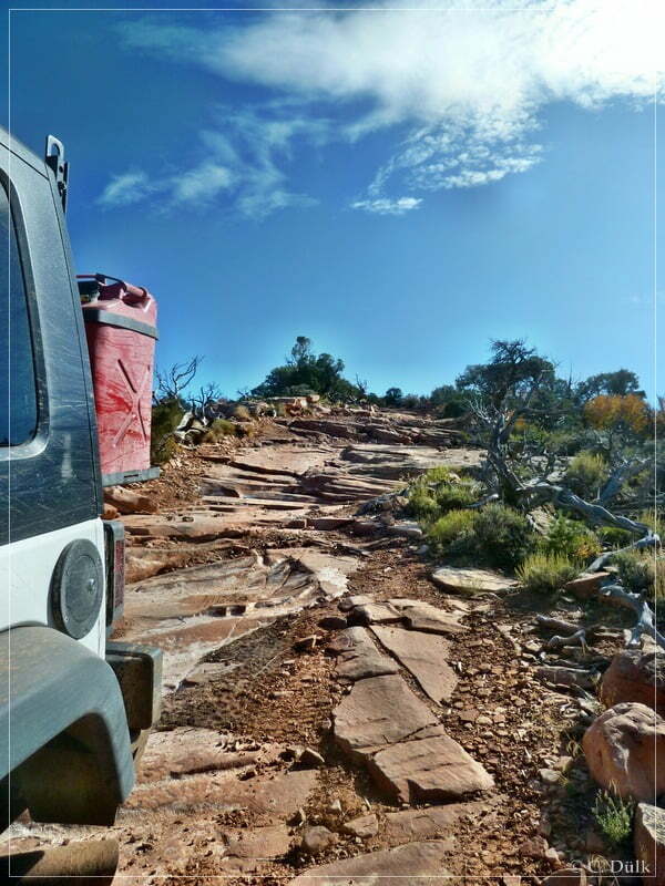
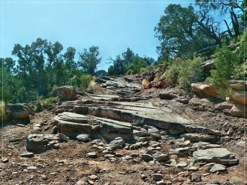
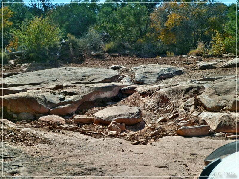
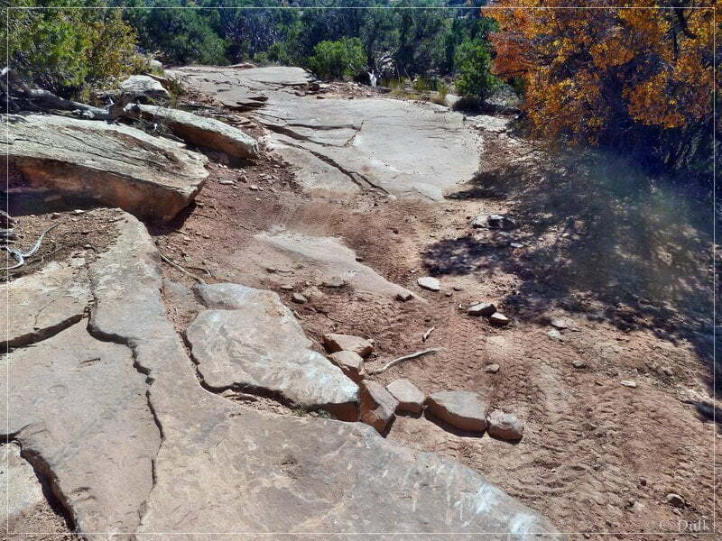
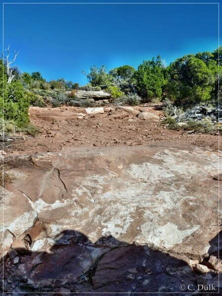
The following picture shows one of the more difficult spots, which could be seen due to the rubber on the rock. Depending on the wheelbase and vehicle this could be a slightly difficult spot for some people.
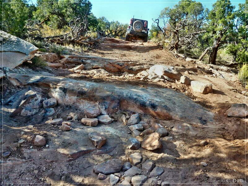
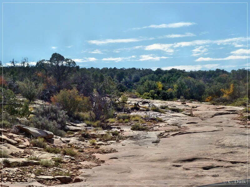
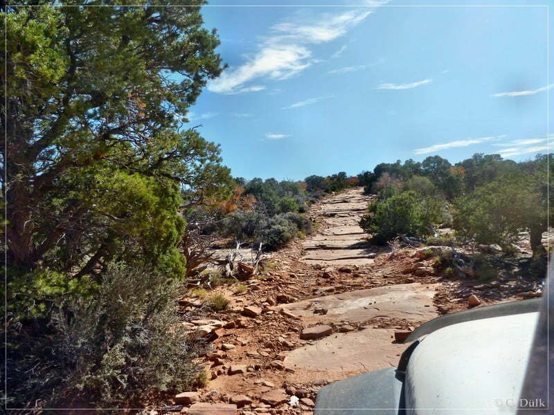
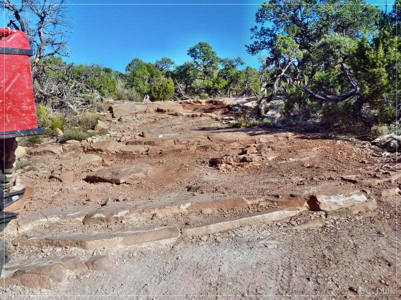
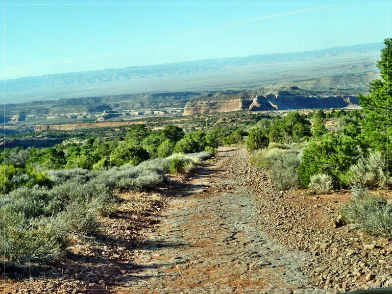
After this spot we are continuing on a rough trail:
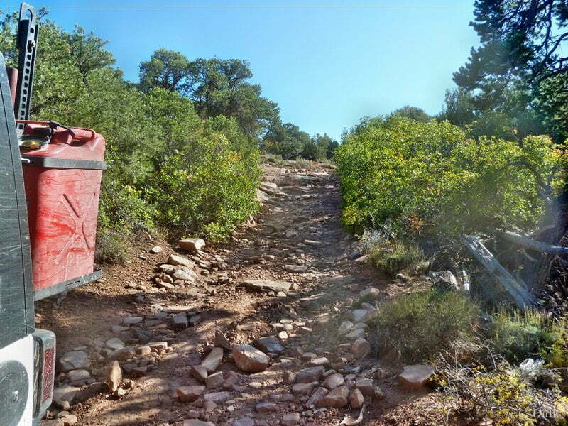
Soon I was back at the fork and continued to go down on the trail to the right. This is the trail, which I used for coming up from Entrada Bluffs Road.
Back on Entrada Bluffs Road I drove back to SR 128.
The trail was not really difficult, but everybody has to judge on his own, whether he has the right vehicle and driving capabilities to ‘survive’ on this trail.
For a better orientation, one can downlload a gpx file of this trip:
Tracklog: Top of the World, Moab, UT (940 downloads )
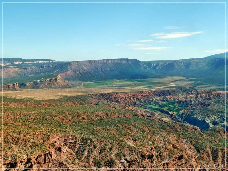
And here is an overview of the area, we visited: