At the end of our september 2011 trip into the Arizona Strip, where we saw Kelly Point and had been in Hidden Canyon and at Grand Gulch Mine, we had a trip to the Nampaweap Petroglyphs. We used BLM1018, the south route around Poverty Mountain, towards Mt. Trumbull Schoolhouse.


We came closer to the Hurricane Cliffs and reached Mt. Trumbull Schoolhouse:


From here a lot of routes are going into different directions:

We followed the route towards Mt. Trumbull:

This trail goes up the Hurricane Cliffs:

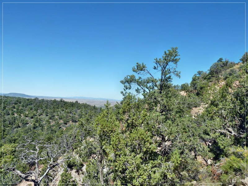

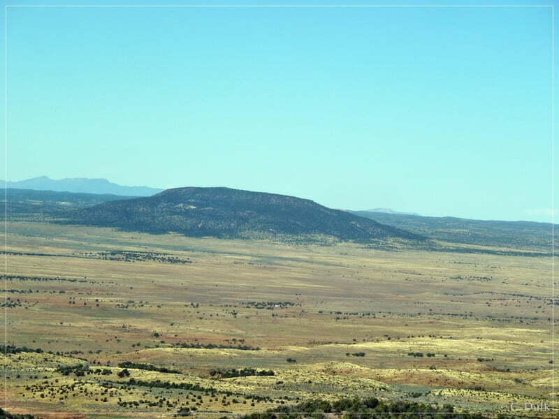
From this road we had great views:


On top of the Hurricane Cliffs we continued on Mt. Trumbull Road:

We stopped at a “Saw Mill Site”, a place, where wood was prepared for building up a church in St. George, UT. This wood was transported via Temple Trail to St. George, UT.


There was also a Anasazi comunity nearby:


We were again on Mt. Trumbull Road:


At 12 S 31110X 402643X we turned right towards the Nampaweap rock art site. After a short drive we reach the parking area.

After a short hike we arrive at the petroglyph site:

(Thanks to Mal Roode for the picture)

(Thanks to Mal Roode for the picture)

(Thanks to Mal Roode for the picture)
After visiting the rock art site and a short break, we went back to Mt. Trumbull Road, to drive the Hells Hollow trail. At 12S 307093X 402917X we turn left on a gravel road:

Dan, our trail boss thought, we have to turn left at this fork, but later we recognized, that the right fork would have been the better option.

e followed the left trail, which leads along a lava field:

The trail ends on a lava field (according to the topomaps, there should be trails around that lava field on both sides, but at least the left trail is no more visible). We turned around and went back the same way, we came in.


Because we were pretty late, we decided to skip the Hells Hollow route this time and went instead back to Mt. Trumbull Schoolhouse. At the schoolhouse we did not go back to camp via BLM1018. Dan decided to turn right onto CR5 to drive along Main Street Valley. At 12S 28613X 404727X we used a trail to the right to visit the historical Mainstreet Schoolhouse. The old schoolhouse is located nearby Diamond Butte:


Then we went back to the camp.
Here one can also download a gpx file of this trip:
Tracklog: Nampaweap Rock Art Site, Arizona Strip, AZ (807 downloads )
and the map gives an overview about the region, we visited.